
2026-04-28
062472
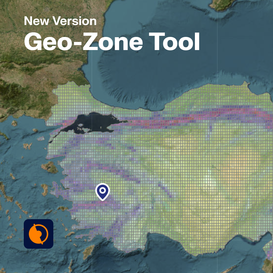
Geo-Zone Selection Tool Interface
Interface of the Geo-Zone Tool showcasing various geographical areas for structural analysis parameters.
The image illustrates the Geo-Zone Tool interface used for selecting geographical zones relevant to structural analysis. It displays various region maps within the tool, which guide users in capturing zone-specific parameters required for calculations. This facilitates precise and location-dependent data input for engineers.