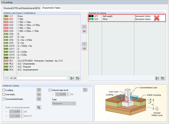
W FOUNDATION Pro otrzymuję wyjątkowo duże fundamenty mojej konstrukcji lub muszę wprowadzić bardzo duże obciążenie, aby zaspokoić obliczenia bardzo mimośrodowego obciążenia w rdzeniu. Jaka może być przyczyna?
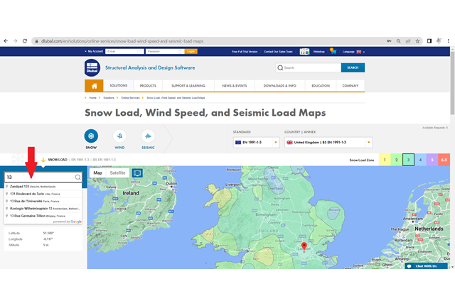
W jaki sposób można określić obciążenia w określonych współrzędnych geograficznych w usłudze online „Mapy obciążenia śniegiem, wiatrem i obciążeniami sejsmicznymi”?
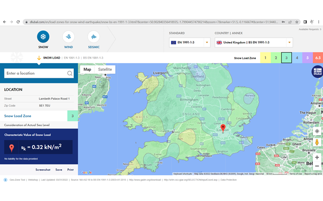
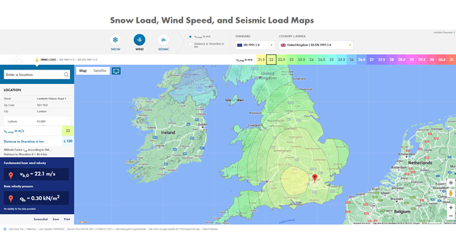
Dlaczego wartość obciążenia wyświetlana w usłudze online „Narzędzie do geolokalizacji: Mapy obciążenia śniegiem, wiatrem i obciążeniami sejsmicznymi” różni się w niektórych przypadkach od wartości w odpowiedniej normie?

.png?mw=640&hash=a975aac8900ba24bf1bdd5b757b6dd33a61963f9)