


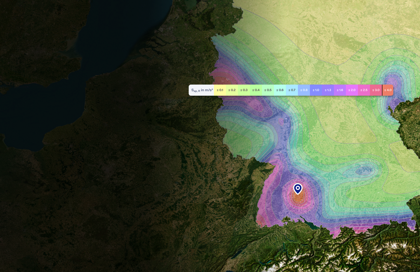
Ground snow load maps per ASCE/SEI 7-22. Returns p_g in psf directly from the contour map for the site location.
- Ground snow load [psf]
- Auto detected site altitude [ft]
Sign up for the Dlubal Extranet to get most of the software and have exclusive access to your personal data.
Sign up for the Dlubal Extranet to get most of the software and have exclusive access to your personal data.
Sign up for the Dlubal Extranet to get most of the software and have exclusive access to your personal data.
Retrieve snow, wind, seismic, and other load zone data. The Geo-Zone Tool features zone maps for many countries worldwide, and can be accessed via the browser app or our GraphQL API, as well as our client libraries for Python and C#.

Structural engineers spend significant time locating snow zones, wind maps, and seismic hazard values before any calculation begins. Each country publishes these data in different formats: national annexes, map appendices, and altitude correction tables scattered across multiple documents.
Geo-Zone Tool eliminates that manual lookup. Enter a postal code or address, or click anywhere on the interactive map. The tool automatically identifies the exact location, detects site altitude, and returns characteristic design values compliant with the selected standard.
The results are immediately usable in structural analysis. RFEM 6 and RSTAB 9 users can transfer values directly into load cases with no copy-paste or tool switching required.
Geo-Zone Tool is used at the very start of a structural project, before the first calculation begins. It replaces manual cross-referencing of national annexes, zone maps, and altitude tables with a single, precise location lookup.
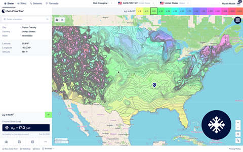
Ground snow load maps per ASCE/SEI 7-22. Returns p_g in psf directly from the contour map for the site location.
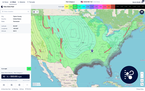
Basic wind speed maps per ASCE/SEI 7-22 and 7-16. Returns wind velocity in mph for all Risk Categories, including special wind regions.
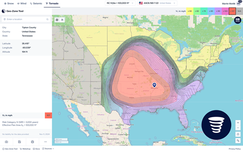
Tornado design wind speed per ASCE/SEI 7-22 and 7-16. Required for Risk Category III–IV structures.
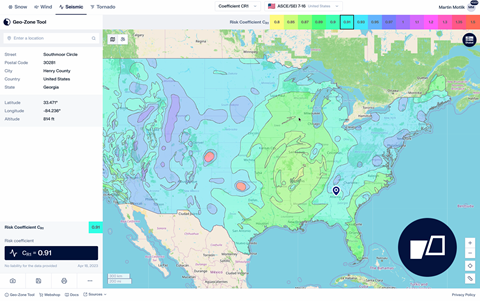
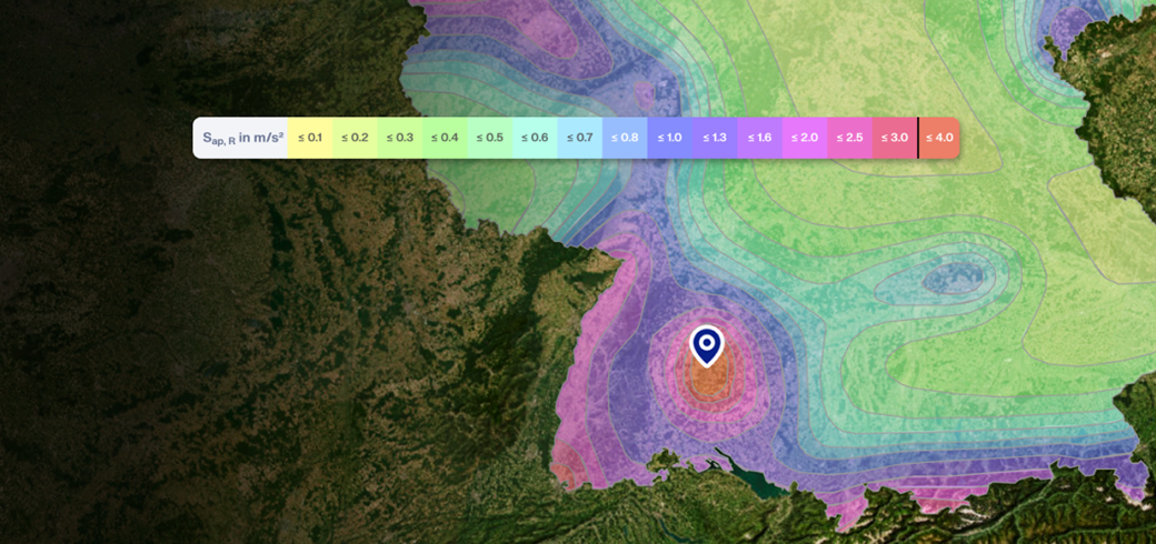
Seismic design parameters per ASCE/SEI 7-16. Returns mapped ground motion values, design spectral accelerations, and Seismic Design Category.
The ASCE Hazard Tool is the standard reference for ASCE 7 load values. Geo-Zone Tool covers the same data and goes further by connecting directly to your structural analysis software.

The Geo-Zone Tool API gives software developers and BIM integrators programmatic access to all load zone data. Use it to build automated workflows, populate structural models, or create custom reporting pipelines.
Geo-Zone Tool works on a request-based model. Each location lookup or result generated in the tool consumes one request. Requests are purchased as one-time credit packages of 500, 5,000, or 15,000 requests with no expiration date. No subscription or recurring fee is required. Access to Geo-Zone Tool is through the Dlubal Extranet. Packages are available in the Dlubal Webshop .
Geo-Zone Tool covers 100+ standards across snow, wind, seismic, and tornado load types, including all EN Eurocode national annexes, ASCE 7, AS 1170, IS 875, SIA 261, NBC, and many more. New standards are added on a regular basis. See the full list at Supported Standards page .
Geo-Zone Tool is integrated into the Dlubal software environment. In RFEM 6 and RSTAB 9, you can call Geo-Zone Tool directly from the load case settings. The characteristic values s_k, v_b,0, q_b, and PGA are transferred automatically into the corresponding load case parameters with no copy-paste required.
Every result is based on the applicable national standard or national annex. Geospatial data are sourced from the following openly available datasets:
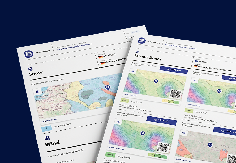
Yes. The PDF export includes all information required for structural documentation: location coordinates and altitude, the applicable standard and national annex, the identified zone, the resulting characteristic value, cited data sources, and the report date.
Each PDF also includes a QR code that links directly back to the live map view in Geo-Zone Tool, so the report stays permanently connected to its source data and anyone reviewing it can verify the results by scanning the code.
Yes. The tool runs entirely in the browser and works on mobile devices and tablets. You can enter the site address or click the map directly from the field to get immediate load zone values.

Here, you can ask and answer technical questions, engage in meaningful discussions on structural analysis and design, suggest new features, and interact directly with the Dlubal team and fellow users.

Explore our free and professional support options, including 24/7 AI assistance, email support, webinars, and exclusive services for Service Contract Pro customers.


