


The Terrain tab is relevant for numerical simulations of wind flows using RWIND. Here, you can define the topology of the building environment.
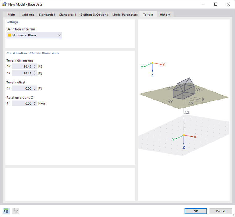
Settings
In the "Definition of terrain" list, the following options are available:
- --: No terrain definition (default setting)
- Horizontal Plane: Definition of environment as a planar rectangle
- Inclined Plane: Definition of environment as a planar rectangle in an inclined position
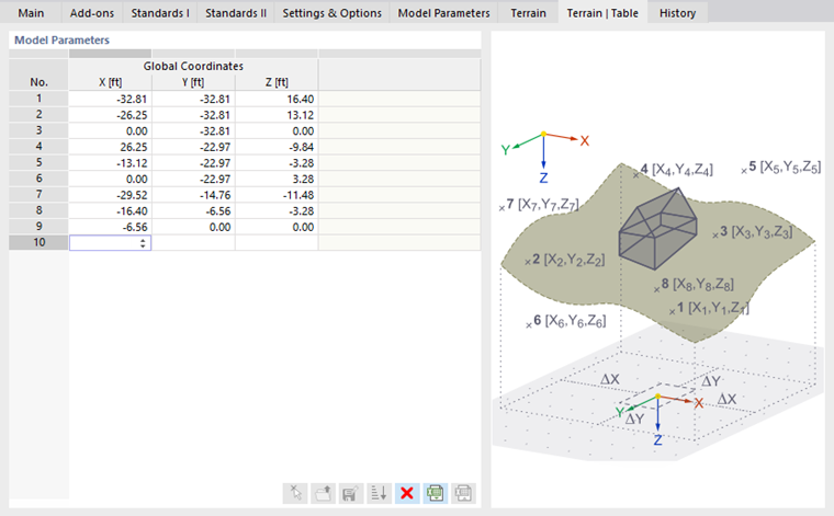
- Table: Definition of terrain in table using coordinates in a separate tab (see the image Table")
Consideration of Terrain Dimensions
Enter the "Terrain Dimensions" of the rectangular area. The values ΔX and ΔY refer to the origin of the model. They are applied in the positive and negative axis directions, respectively (see the dialog graphic).
For a horizontal terrain plane, you can specify a "Terrain offset"; for example, for a bridge to define the vertical distance from the model origin. In addition, a "Rotation around Z" is possible by which you can rotate the terrain rectangle.